No. of project: ELKH-POC-2021-003, Title: „GISta Hungarorum”

As there is not any general remedy for backward regions, each has to be handled separately, with special treatment. However defining the lag and weaknesses is crucial in this sense.
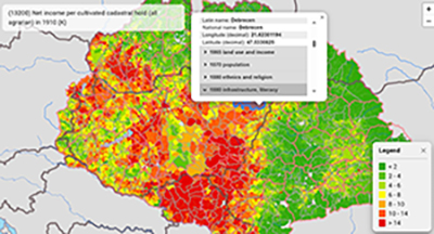
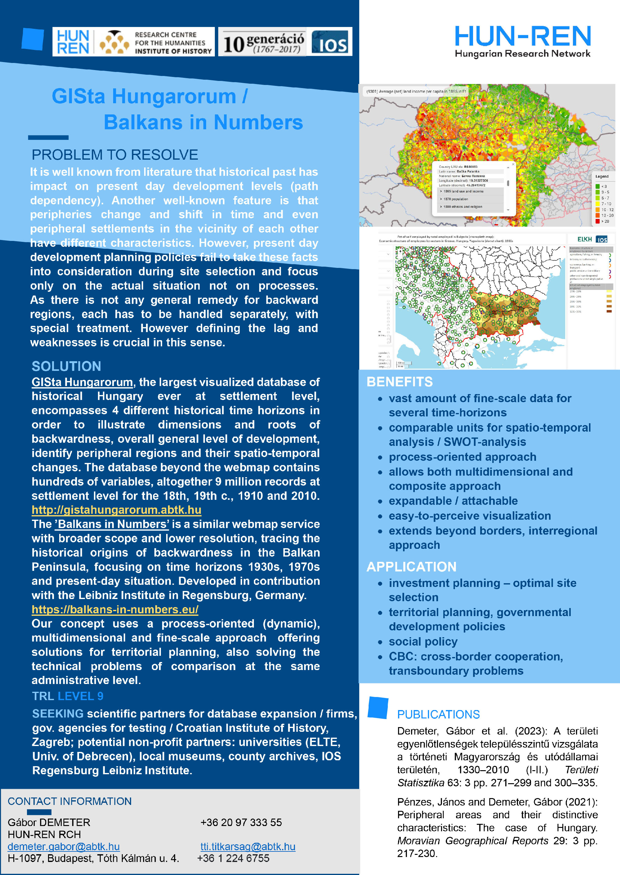
GISta Hungarorum, the largest visualized database of historical Hungary at settlement level ever, encompasses 4 different historical time horizons in order to illustrate dimensions and roots of backwardness, overall general level of development, identify peripheral regions and their spatio-temporal changes. The database beyond the webmap contains hundreds of variables, altogether 9 million records at settlement level for the 18th, 19th centuries, 1910 and 2010. http://gistahungarorum.abtk.hu
The ’Balkans in Numbers’ is a similar webmap service with broader scope and lower resolution, tracing the historical origins of backwardness in the Balkan Peninsula, focusing on time horizons 1930s, 1970s and present-day situation. Developed in contribution with the Leibniz Institut in Regensburg, Germany.
https://balkans-in-numbers.eu/
Our concept uses a process-oriented (dynamic), multidimensional and fine-scale approach offering solutions for territorial planning, also solving the technical problems of comparison at the same administrative level. What we offer for those who use the webmap, the data behind and our concept on development offers
- vast amount of fine scale data for several time-horizons
- comparable units for spatio-temporal analysis / SWOT-analysis
- process-oriented approach
- allows both multidimensional and composite approach
- expandable / attachable structure
- easy-to-perceive visualization
- interregional approach that extends beyond borders.
We offer our developments for those investors, who deal with
- investment planning – optimal site selection
- territorial planning, governmental development policies
- social policy
- CBC: cross-border cooperation (EU), transboundary problems
